The following photographs were taken by the author, Elizabeth Sweeney, around Northern Arizona and Southern Utah on the Navajo Reservation. As you will see, some of the photographs contain street art that speak to Native American cultures and community.
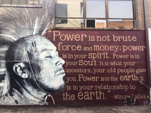

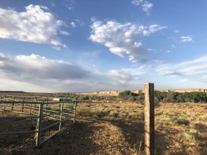
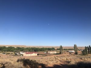
Photographs from Tuba City, Arizona are where I was living and working.

Antelope Point is a scenic spot just south of Page, Arizona and is part of Lake Powell, which is a large body of water that spans across Southern Utah and Northern Arizona.
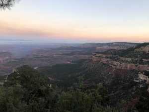
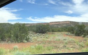
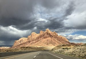
Kaibab National Forest is a large forest that stretches to the very edges of the North Rim of the Grand Canyon in very remote areas.
Marble Canyon is in Page, Arizona, and this scenic spot looks out toward the Colorado River.
Glen Canyon National Recreation Area surrounds parts of Lake Powell in both Northern Arizona (Page) and Southern Utah. This photograph above is at a scenic spot on Lake Powell called “Lone Rock,” because there is a giant rock that sticks up out of Lake Powell.

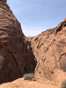
Marble Canyon is one of many canyons that are called “Slot Canyons.” Slot canyons are what you see above: very small pathways through exquisitely water-carved rock formations.

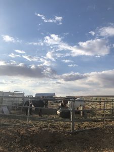
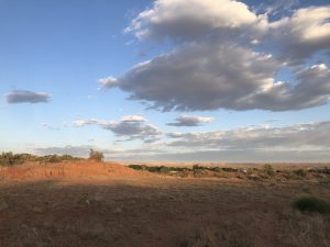
Many Native Americans own horses or cattle. The photograph above gives a small glimpse into the wide variety of domestication on the Navajo Nation.


Tuba City Regional Health Care Corporation is comprised of numerous small, relatively short and wide buildings congregated together. For example, the Behavioral Health Department is in a separate building from the Emergency Department and inpatient services. Many physicians have their offices in small trailers behind the main medical building.


North Timp Point is just one of countless lookout points on the North Rim of the Grand Canyon, right next to Timp Point, in which there are dispersed, free camping sites and endless opportunities to enjoy the view in quiet solitude.

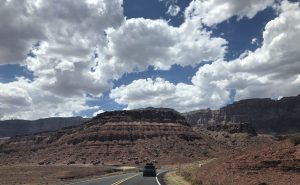


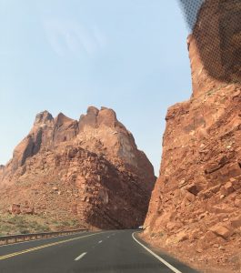
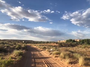
The Navajo Trail used to be an old Native American and sheepherding trail that has now become Route 160 in Arizona. Before the Navajo Trail roadway was Route 160, it was Navajo Route 1, which connected Flagstaff, Arizona with Tuba City, Kayenta, and the Four Corners region. This facilitated easier transportation of and access to coal, oil and uranium deposits outside of the Navajo Reservation. Today, the Navajo Trail spans all the way to Cortez, Colorado.

*All photos were taken by the author, Elizabeth Sweeney.