
Portland is rapidly expanding and urbanizing, growing both in its residential and tourist area. In both respects, Portland is still developing and is not on as large of a scale as New York City, so it neither possesses nor requires such large scale infrastructure. However, infrastructural improvements in both a literal and open source sense could satisfy the city’s growing physical needs and enhance its efficiency and technological capabilities.
Cities constantly seek to function more efficiently and “modern city planning is structured around an armature of such conflict avoidance.” [1] While Portland does not attract a large enough volume of traffic to recreate New York traffic patterns, efficiency is still central to the city’s plan for commuters and visitors in and out of the city. Many of Portland’s residential areas are set up in the Jeffersonian grid (see the West End and Munjoy Hill https://www.google.com/maps/place/Portland,+ME/@43.6582817,-70.2627314,3397m/data=!3m1!1e3!4m2!3m1!1s0x4cb29c72aab0ee2d:0x7e9db6b53372fa29“) and from my experience traffic flows well through the busier downtown areas. One recommendation for Portland would be more paths for walkers and cyclists, either designated bike lanes (which the city seems to lack from a quick Google Earth scan) or elevated pathways. Such pedestrian infrastructure would satisfy the hierarchy of “elevated highways, pedestrian skyways…and other movement technologies…for the sake of efficient flow,” [2] which Sorkin argues is necessary to promote urban efficiency and cohesion.
Open source infrastructure could manifest itself in resident-managed community gardens, and new public spaces crafted by citizens themselves would promote residents’ own needs. As Jiménez writes, “such interventions in the urban fabric are transforming, and even directly challenging, the public qualities of urban space.” [3] As Portland continues to be affected by urbanization, it figures that the city’s new populations would want to have a say in the development of their urban space, much like the residents of El Campo experiment.
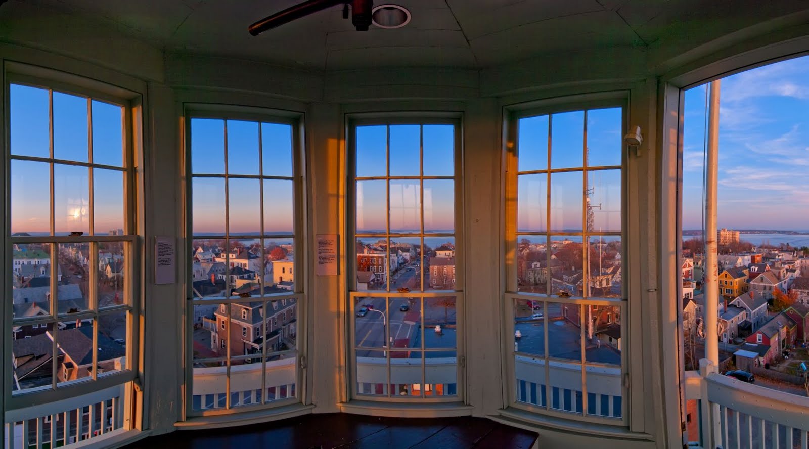
In terms of its tourist infrastructure, Portland has failed to capitalize on its prime location as a waterfront city. With a relatively flat skyline and with few non-working, “touristy” piers, there is not really any infrastructure through which tourists can take advantage of Portland’s spectacular location and vistas. Adding some lookout towers would provide tourists with such vantage points and make Portland’s skyline more interesting and memorable, something that urban planners and residents have been looking for.
In addition to lookouts, other infrastructure such as bridges or boat docks would enable Portland tourists to explore Portland and its neighboring environments. Between downtown Portland and South Portland is a half-mile spit of water which could be spanned with a bridge catered for walkers and cyclists. Tourists could take this path from downtown Portland and, in a matter of minutes, arrive at Bug Light Park or nearby Simonton Cove, a spectacular beach on the Southern Maine Community College campus that I visited during a geology lab last week.

[1] Sorkin, Michael. 2014 [1999]. “Traffic in Democracy.” In The People, Place and Space Reader, edited by Jen Jack Gieseking, et al, 411. New York: Routledge, 2014.
[2] Sorkin, Michael. 2014 [1999]. “Traffic in Democracy.” In The People, Place and Space Reader, edited by Jen Jack Gieseking, et al, 411. New York: Routledge, 2014.
[3] Jiménez, Alberto Corsín. 2014. “The Right to Infrastructure: a Prototype for Open Source Urbanism.” Environment and Planning D: Society and Space 32 (2): 342.
[4] Farr-Weinfield, Cynthia. “Greater Portland Convention and Visitors Bureau News.” Blogspot. Last modified March 7, 2010. http://cindysphotoquest.blogspot.com/2010/03/greater-portland-convention-and.html.
[5] Templeton, Cory. “Out Here in the Fields.” Portland Daily Photo. Last modified June 27, 2012. http://www.portlanddailyphoto.com/2012_06_01_archive.html.